|
Name
|
Type
|
Use
|
Default
|
Fixed
|
Annotation
|
|
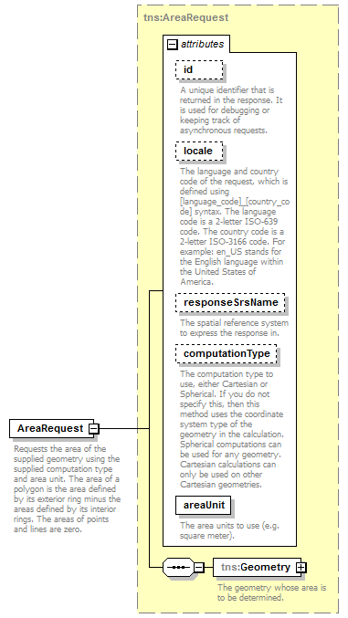
id
|
xsd:string
|
optional
|
|
|
|
|
A unique identifier that is returned in the response. It is used for debugging or keeping track of asynchronous requests.
|
|
|
locale
|
xsd:string
|
optional
|
|
|
|
|
The language and country code of the request, which is defined using [language_code]_[country_code] syntax. The language code is a 2-letter ISO-639 code. The country code is a 2-letter ISO-3166 code. For example: en_US stands for the English language within the United States of America.
|
|
|
responseSrsName
|
xsd:string
|
optional
|
|
|
|
|
The spatial reference system to express the response in.
|
|
|
computationType
|
tns:ComputationType
|
optional
|
|
|
|
|
The computation type to use, either Cartesian or Spherical. If you do not specify this, then this method uses the coordinate system type of the geometry in the calculation. Spherical computations can be used for any geometry. Cartesian calculations can only be used on other Cartesian geometries.
|
|
|
areaUnit
|
tns:AreaUnit
|
required
|
|
|
|
|
The area units to use (e.g. square meter).
|
|